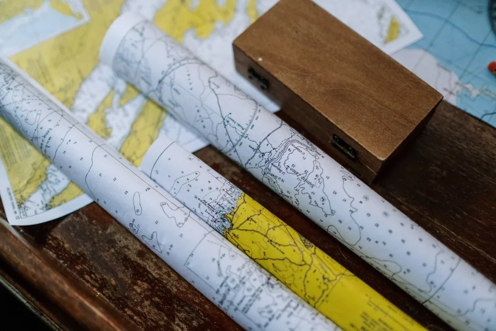
Navigating the vast and sometimes treacherous waters of the world’s oceans demands a deep understanding of nautical charts, particularly when it comes to interpreting depths.
My role as a navigator involves meticulous planning to chart a course that ensures the safety of my vessel, be it a towering merchant ship or a nimble sailing boat. The significance of reading charts accurately cannot be understated—it is the foundation upon which a secure and efficient voyage is built.
The depths indicated on these charts are not just numbers; they are a crucial element that I must analyze and understand to avoid the underwater dangers that could threaten the integrity of my journey.

From avoiding shallow areas that could ground the ship to identifying the safe channels for passage, my decisions are informed by the confidence I have in my ability to decipher these nautical maps. This confidence stems from a blend of experience and the constant acquisition of knowledge—a combination that is vital for the safety of the crew and the success of the mission.
How Deep is a Fathom in the Ocean?
| Fathoms | Feet | Meters |
|---|---|---|
| 1 | 6 | ~1.83 |
| 10 | 60 | ~18.29 |
| 50 | 300 | ~91.44 |
| 100 | 600 | ~182.88 |
I understand that a fathom is a traditional maritime measurement of depth, totaling 6 feet or roughly 1.83 meters. For sailors and navigators, familiarity with fathom conversions is vital.
- Historical context: Once spanning beyond the maritime world, the use of fathoms as a measure for distances and depths in mines and wells has narrowed over the centuries. My knowledge pinpoints its primary contemporary use to nautical depths.
- Practical application: Consulting nautical charts, I note lines known as “fathom curves” charting sea floors and helping mariners gauge water depth at a glance.
- Cultural significance: The fathom remains integral in maritime traditions and operations, evidence of its lasting maritime heritage.
How Deep Is A Fathom In Feet And Meters?
Understanding depth is crucial in the nautical world, and the measurement of a fathom is integral to this understanding. What is a fathom exactly? I recognize a fathom as precisely 6 feet or 1.8288 meters. This standard has been widely adopted for charting depths, allowing sailors and marine enthusiasts to ascertain how deep the water is beneath them.
In practical terms, fathom measurements vary, as illustrated in the examples below:
- 1 fathom = 6 feet = 1.8288 meters
- 10 fathoms = 60 feet = 18.288 meters
- 20 fathoms = 120 feet = 36.576 meters
- 30 fathoms = 180 feet = 54.864 meters
- 50 fathoms = 300 feet = 91.44 meters
- 100 fathoms = 600 feet = 182.88 meters
It’s also important to note that the 100-fathom line serves not only as a depth measurement but also as a critical component in various nautical activities and regulations. The historical significance of this measurement harks back to the days when sailors manually gauged depths. The 100-fathom line marked the limit of what was realistically measurable — beyond it, sailors struggled with exhaustion from hauling the leadline. It represented the “end of the road” for their seafaring explorations.
Fast forward to the present, and the 100-fathom depth finds relevance in both recreational and commercial marine activities. The water column up to 100-110 fathoms is lit by sunlight which allows photosynthesis, fostering a teeming ecosystem ripe for fishing activities. Certain fishes that thrive along the dynamic contours of sea cliffs and drops find the range within these fathoms ideal, making spots along the 100-fathom line prime fishing locations.
From a legal standpoint, the 100-fathom line is crucial as well. It’s incorporated within the Code of Federal Regulation (Title 50) and is precisely charted out for reference in U.S. waters. It sets boundaries for where fishing activities can occur, with prohibitions on taking any species seawards of this line. This demarcation ensures a regulated approach to marine resource management.
I’ve found that popular areas for offshore fishing like the Gulf of Mexico, Galveston, or Hawaii, require traveling significant distances from the coast to hit the 100-fathom line. Adventurers heading out to these locales are often in pursuit of impressive catches such as tuna, marlin, or swordfish, which frequent these depths.
Now when I share the significance of a fathom’s depth or the 100-fathom line, it’s with the understanding of its practical applications that range from fishing to legal boundaries inside marine environments. These insights help inform my approach to nautical exploration and marine conservation, anchoring the connection between depth, marine life, and the responsible utilization of ocean resources.
What is a Fathom in the Imperial Measurement Unit?
I understand a fathom to be a unit steeped in maritime tradition, originally representing the span of a man’s outstretched arms. Today, this measure has been precisely defined and standardized. Here are some key points about a fathom:
- Historical Roots: Derived from the Danish word “favn,” indicating an embrace or a pair of outstretched arms.
- Modern Standard: Equals exactly 6 feet or about 1.8288 meters.
- Nautical Relevance: Commonly used to gauge water depth or the length of ropes and cables at sea. More details on this measurement in nautical context can be found in this explanation on nautical units to measure the depth of water.
- Relation to Nautical Mile: Previously counted as 1⁄1000 of a British nautical mile, which equated roughly to 6.08 feet.
Why Is A Fathom Used For Measuring The Depth Of Water?
When I navigate a vessel at sea, measuring the depth of the water is crucial to avoid running aground. Traditionally, a fathom, equivalent to six feet or approximately 1.8288 meters, is the unit used to determine this depth. This system evolved with the advent of the leadline, a simple yet innovative tool that revolutionized maritime navigation.
The leadline itself is rudimentary – it’s just a lead weight at the end of a marked rope. When I drop this over the side of my ship, it sinks and lets me quickly assess the water depth. The real ingenuity lies in the way the rope is marked. Different markers at specific intervals allow quick recognition of the fathom units:
- 2 fathoms – 2 strips of leather
- 3 fathoms – 3 strips of leather
- 5 fathoms – White cloth
- 7 fathoms – Red cloth
- And so on…
Using tallow or grease on the lead’s bottom, I can even gather samples of the seafloor to understand its composition. Such tactile feedback provides insights that go beyond simple depth measurement.
| Fathoms | Marker |
|---|---|
| 10 | Leather with a hole |
| 13 | Blue cloth |
| 30 | Small line with 3 knots |
It’s a technique requiring skill – counting, determining marker intervals, and recognizing the markers themselves. Despite its simplicity, this method has been a boon to seafarers for generations.
Even with technological advances like echo sounders, which offer continuous and precise readings, I find the leadline indispensable on merchant ships. It’s a reliable backup, a connection to the mariner’s heritage, and it ensures that I can always measure depth, irrespective of the electronic instruments on board. The fathom remains the mainstay in depth measurement due to this continued practicality and historic maritime tradition.
- Types of Gas Carriers as per IGC Code – April 22, 2025
- Wind-Assisted Propulsion Systems (WAPS): A Game Changer for Maritime Decarbonization – February 6, 2025
- 10 Boat Salvage Yards in California – January 25, 2025


