A ship’s primary function is to transport goods and passengers from one port to another. This operation requires proper knowledge, planning, and execution to successfully sail the ship to its intended destination. The process for achieving this is known as “passage Planning.
A passage plan is therefore a comprehensive, berth-to-berth guide that highlights probable obstacles or dangers along the projected route.
Passage planning is a critical component of safe and successful marine operations. By understanding the environment, route, and vessel conditions, officers can develop a plan that will help avoid hazards and ensure the safety of the crew and cargo.
This article highlights the principles of passage planning, factors that are considered when planning a ship’s passage and why passage planning is considered an important activity in vessel operations.

What is Passage Planning?
Passage planning is the process of assessing the risks involved in maritime transit and developing a plan to mitigate those risks. It involves considering such factors as weather, currents, fisheries, traffic, and environmental protection zones.
It also includes an assessment of the vessel’s capabilities, the environmental conditions, the navigational hazards, and the resources available that will best aid in achieving the ship’s objectives while minimizing risk.
The passage plan or voyage plan is developed and used by the ship’s bridge team to find the safest and most favorable and economical route. This comprehensive plan which covers the voyage from berth to berth and is adapted to the bridge management practices should be detailed and easy to understand. It is the responsibility of the ship’s Master to plan the voyage and to develop a comprehensive passage plan.
Creating a passage plan is essential to the safety of the ship and its crew. It is also important to consider the most economical route when planning a voyage.
Factors that need to be taken into account when voyage planning include weather conditions, the draft of the ship, the condition of the ship, and the strength and direction of the wind.
Why is Passage Planning Important?
Ship passage planning is a critical step in ensuring a safe and efficient Voyage. By planning, captains can anticipate and avoid potential hazards, identify opportunities to save time and fuel, and better manage the overall voyage.
With this information in hand, the captain can create a detailed plan that takes into account the vessel’s speed, draft, and other factors to arrive at the destination safely and on time.
How is a Ship’s Passage Planned?
This planning process typically includes gathering information about the specific vessel and its capabilities, the route to be taken, and potential weather and environmental conditions along the way.
The introduction of the Electronic Chart Display and Information System (ECDIS) has ushered in the digital era for passage planning, with the majority of ships being subject to this requirement.
Although ECDIS enables a more streamlined approach to plot voyages on digital charts, existing practices and fundamental principles of passage planning remain unchanged.
According to SOLAS chapter V Regulation 34, Annex 24 and 25, IMO Resolution 893(21), and STCW Code Section A VIII/2 part 3-1, passage planning consists of four stages:
- Appraising all relevant information
- Planning the intended voyage
- Executing the plan taking account of prevailing conditions
- Monitoring the vessel’s progress against the plan continuously
1. Appraisal
The appraisal stage is considered the information-gathering stage. The ship’s captain will consult with the second mate (the officer in charge of navigation) to discuss voyage orders received from charterers/owners, destinations, and sailing plans. The officer will source all pertinent information relevant to the proposed route, identified risks, etc. This includes analyzing any critical points along the proposed route.
The following materials are among those typically used during passage planning appraisal: publications or e-publications, charts or e-charts, and other information sources such as:
| Chart catalogue | Type of cargo in carriage | Master’s standing instructions |
| Charts/Notices to Mariners | Guide to Port Entry | Past experiences of officers for the voyage |
| Routing Charts/Load Line chart | Drafts, UKC, Squat and stability data | Ship Routing system |
| Ocean Passages of the World | Port Distance calculating software/table | Charterer’s instruction |
| Admiralty Sailing Directions | Mariner’s Handbook | Company’s instructions |
2. Planning
The officer will make an appraisal of publications and information available to them, creating a detailed plan that is easy to understand. This is the stage where decisions will be made as to resources to be deployed for mitigating the risks identified in the appraisal.
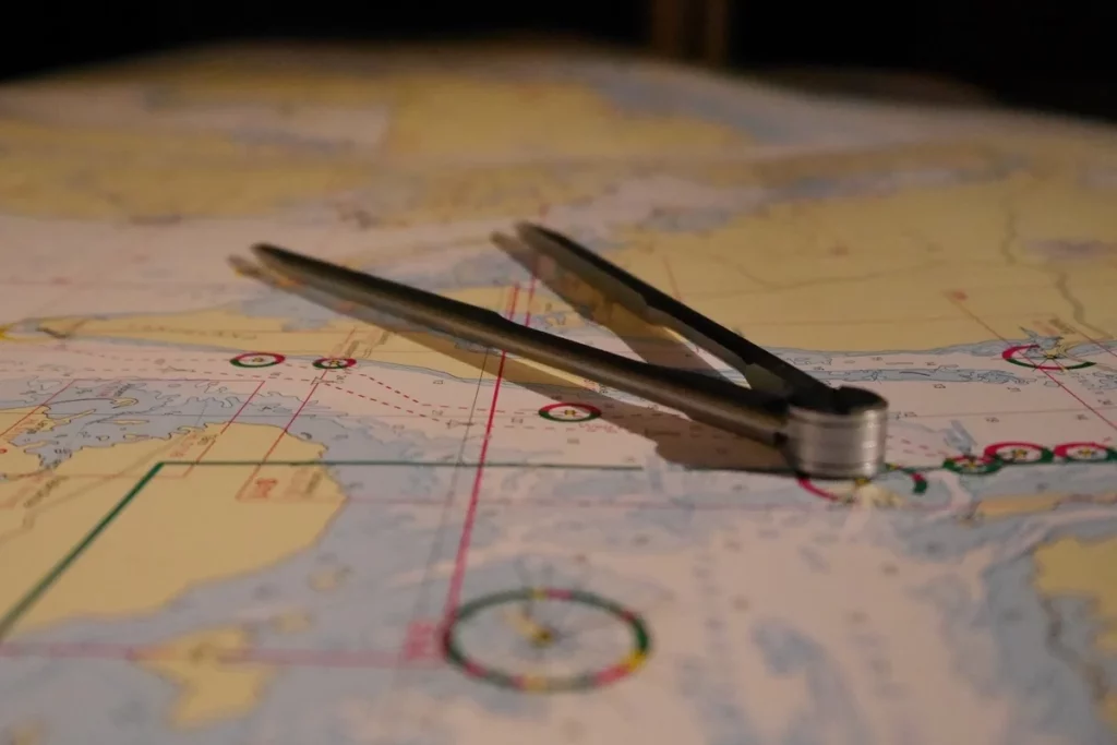
The initial draft of the plan is sketched out on a small-scale chart; this chart is then transferred onto a chart at a suitable scale for modification and refinement as needed.
It is important to remember best practices such as route-planning and identifying dangerous areas that could be encountered.
This can include wrecks, shallow areas, hazardous coastal areas, fish farms or fishing zones, reefs, small islets, anchorages, heavy shipping lanes on major shipping trade routes, high-density areas, Traffic Separation Schemes, precautionary areas, etc. Taking the time to properly plan a route accordingly and conducting necessary research is essential when navigating.
Some of these areas that will be identified and planned for are:
- No-Go areas/Dangerous areas
- Leading lines
- Margins of safety/Safety settings/Limits
- Change in engine status
- Charted Tracks
- Minimum UKC (Under Keel Clearance)
- Course alterations and wheel-over points
- Where Echo Sounder will be used
- Where Parallel Indexing will be employed
Before beginning the voyage, it is essential to put in place contingency plans, so that quick action can be taken if the voyage is deviated from or is aborted. These plans should cover routes, anchorages, ports of shelter, and emergency berths.
Risk assessment and briefing must be conducted by the Master with bridge and engine teams. As stated in the company Safety Management System (SMS), shore management may review the passage plan for added security. It is important that all precautions be taken to ensure high quality and low risk.
3. Execution
This phase entails the actual execution of the passage plan and the evaluation of any emerging considerations when determining deviations from the plan during the passage. Once the passage plan is checked and given a go-ahead by the captain, the navigation officers will implement it.
The speed of the vessel may be adjusted relying on numerous factors such as forecasted time of arrival (ETA), presence of other ships, sea conditions, and climate.
Whenever configuring a voyage plan, the onboard stock of fuel, water, and food supplies should also be accounted for to make sure that no shortages occur.
4. Monitoring.
The final step in the voyage planning procedure is monitoring and seeing the plan to fruition. It entails regular and vigilant surveillance by the officers of the bridge team.
This is the stage where the bridge team will rely on their expertise, judgment, and navigational abilities to guarantee the vessel’s safe voyage. To monitor the ship’s position, the crew uses a wide range of tools, such as GPS and radar bearings, with visual bearings and celestial navigation providing additional sources of information.
After each voyage, it is also beneficial to hold a debriefing meeting in order to share collected experiences and knowledge that can be utilized in future bridge operations.
What Factors Are Considered When Planning a Ship’s Passage?
In the Guidelines for Voyage Planning, the IMO identifies more than 50 components that should be considered while drafting a plan. “To assure the safety of life at sea, safety, and efficiency of navigation, and protection of the maritime environment throughout the intended voyage or passage,” the requirements are explicit and exhaustive.
During planning, the ship’s navigation officer should consider the following factors:
- safe speed (taking hazards, the vessel’s maneuverability, and water depth into account).
- the cargo’s characteristics.
- when/where to alter the speed, taking into account factors such as daylight and tidal restrictions, and the condition and competency of the crew.
- clearance from navigational hazards.
- meteorological conditions.
- the certifications and documents of the vessel and crew.
- course alteration points.
- the method and frequency of position fixing.
- the use of the routing system, and the use of AIS.
The IMO recommends that the Passage plan must be clearly marked and recorded on the appropriate charts, CD, and/or in a voyage plan notebook. Throughout the voyage, the officers of the navigational watch should always have access to the plan.
Conclusion.
There are many factors to consider when planning a ship passage, such as weather, currents, seabed conditions, and traffic patterns. In addition, masters must also take into account the characteristics of their vessels, such as draft, speed, and cargo capacity.
Planning a ship’s passage may seem like a hard job, but it is a necessary step for a safe and successful trip. By taking all of these factors into consideration, masters can develop a comprehensive plan that will help them navigate safely and efficiently to their destination.
- Types of Gas Carriers as per IGC Code – April 22, 2025
- Wind-Assisted Propulsion Systems (WAPS): A Game Changer for Maritime Decarbonization – February 6, 2025
- 10 Boat Salvage Yards in California – January 25, 2025


